LiDAR map
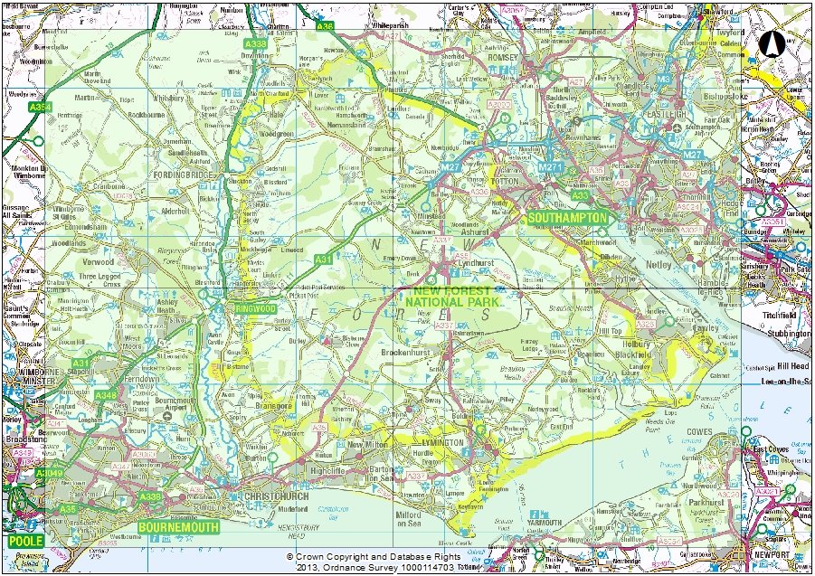
This page allows you to view scaled jpeg maps of the LiDAR coverage of the New Forest National Park. The images show multi azimuth (multi direction light source) hill shade analysis, generating a shadow effect from topographic changes found on the earth surface, you can learn more about this on the LiDAR Explained page. These high resolution images are created from the LiDAR data gathered as part of the HLS LiDAR Landscape Project and HLF New Forest Remembers Project. To explore further, click on the area of the map you are interested in, once a more magnified view of the area appears, then click on the grid covering your area of interest. A new page will then open with the LiDAR JPEG image open within it.
For more information visit the How LiDAR works page.
This information is property of New Forest National Park Authority and should not be used for commercial purposes without specific permission. Use for research projects is permitted however we would ask that you inform us as to how you intend to use it.
Contact us: archaeology@newforestnpa.gov.uk

